
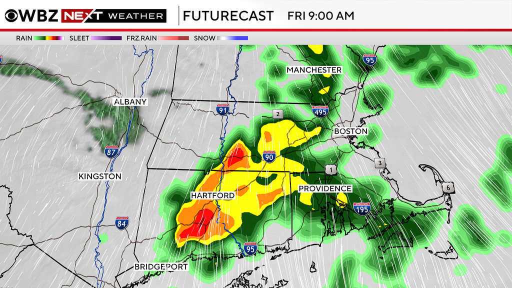
The WBZ Weather Team has issued a NEXT Weather Alert for the risk of some downpours and thunderstorms on Friday.
We are tracking a few rounds of rainfall for the day on Friday.
The first round, along a warm front, will bring scattered showers and a few downpours to southern New England between 6 a.m. and noon on Friday.
It will be dry for much of the afternoon hours.
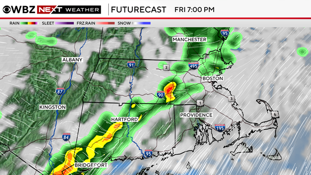
The second round will arrive on a strong cold front between 6-10 p.m. Friday evening.
This has the potential to pack a bit of a punch with the chance of scattered downpours and a few thunderstorms.
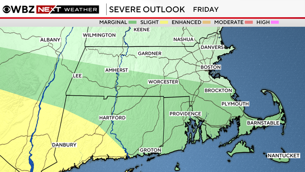
The Storm Prediction Center has placed parts of our area (mainly south of the Mass. Pike) in a slight risk for severe weather on Friday.
The primary threat would be some strong to damaging winds within any thunderstorms that form.
Behind that front, some of the coldest air of the season thus far.
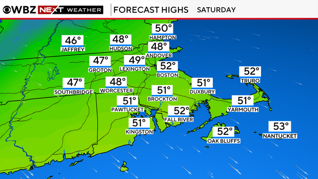
High temperatures on Saturday will remain in the 40s north and west of Boston and low 50s near the coast.
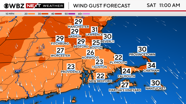
Saturday will also be a windy day with northwesterly gusts between 20 and 40 mph throughout the day.
This will make it feel like the 30s and 40s.
Temperatures will bottom out early Sunday morning.
Lows will be in the mid to upper 20s north and west of 495 and in the low 30s closer to the coast.
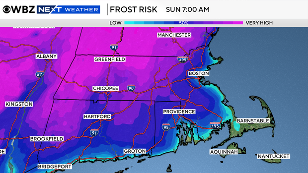
Therefore, we expect a widespread frost and, in some areas, a killing freeze.


